
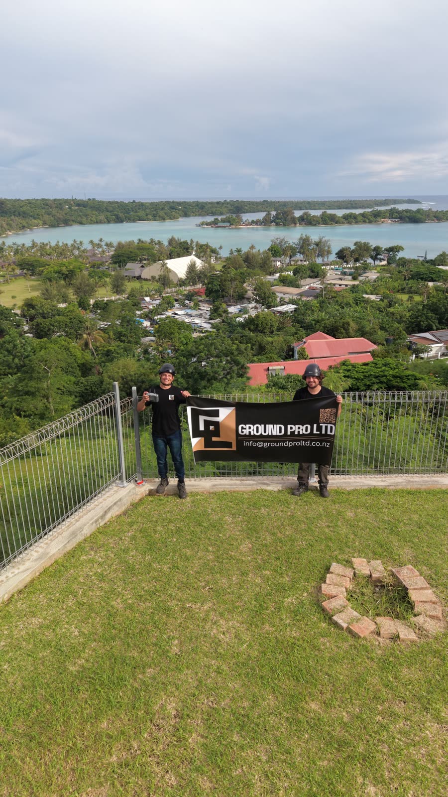
Ground Condition Assessment / Rope Access
Vanuatu Ground Condition Reporting
Three Port Vila properties needed independent ground condition assessments, delivered as a FIFO subcontract to Downer NZ under the MFAT Pacific Project. Our two-person crew used rope access, drone photography, and direct measurement to map slope profiles across all three sites in extreme tropical conditions, producing formal reports with Gibb Ritchie Geotechnical Engineers. All three reports landed on time within a six-day window — our first overseas job, with local workers upskilled along the way.
The challenge
What made this difficult
Three properties across Port Vila needed independent ground condition assessments, delivered as a FIFO subcontract to Downer NZ under the MFAT Pacific Project. Each site presented its own slope stability and access challenges — from a steep slope above a leaning retaining wall to a vertical coral face with active debris. All three reports had to be delivered within a six-day window, in extreme tropical heat, on our first overseas job just 1.5 years into operating.
Specific issues
Three sites spread across Port Vila, each with different slope and access conditions
One site with a 55° slope above a leaning retaining wall showing a 180mm crack
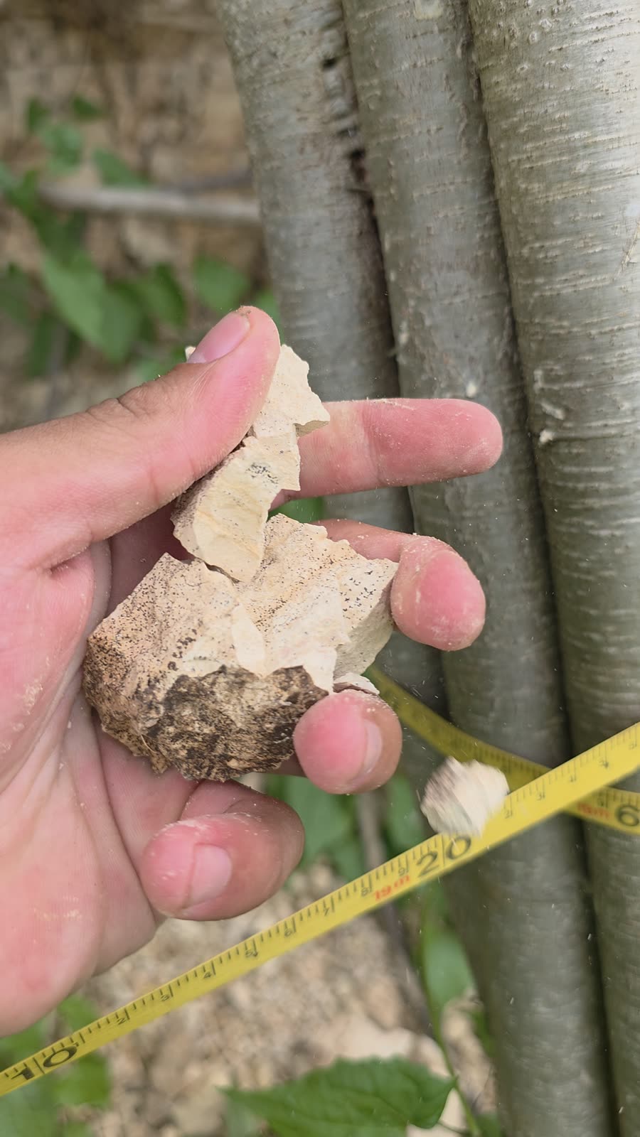
A 50m slope with a separated 9m boulder and voids, and a 10m vertical coral face with a 12m crack and active debris
Extreme tropical heat and humidity, with work scheduled around rain windows
Remote FIFO operation with no local supply chain for specialist equipment
Six-day delivery window across all three properties
The response
- 01
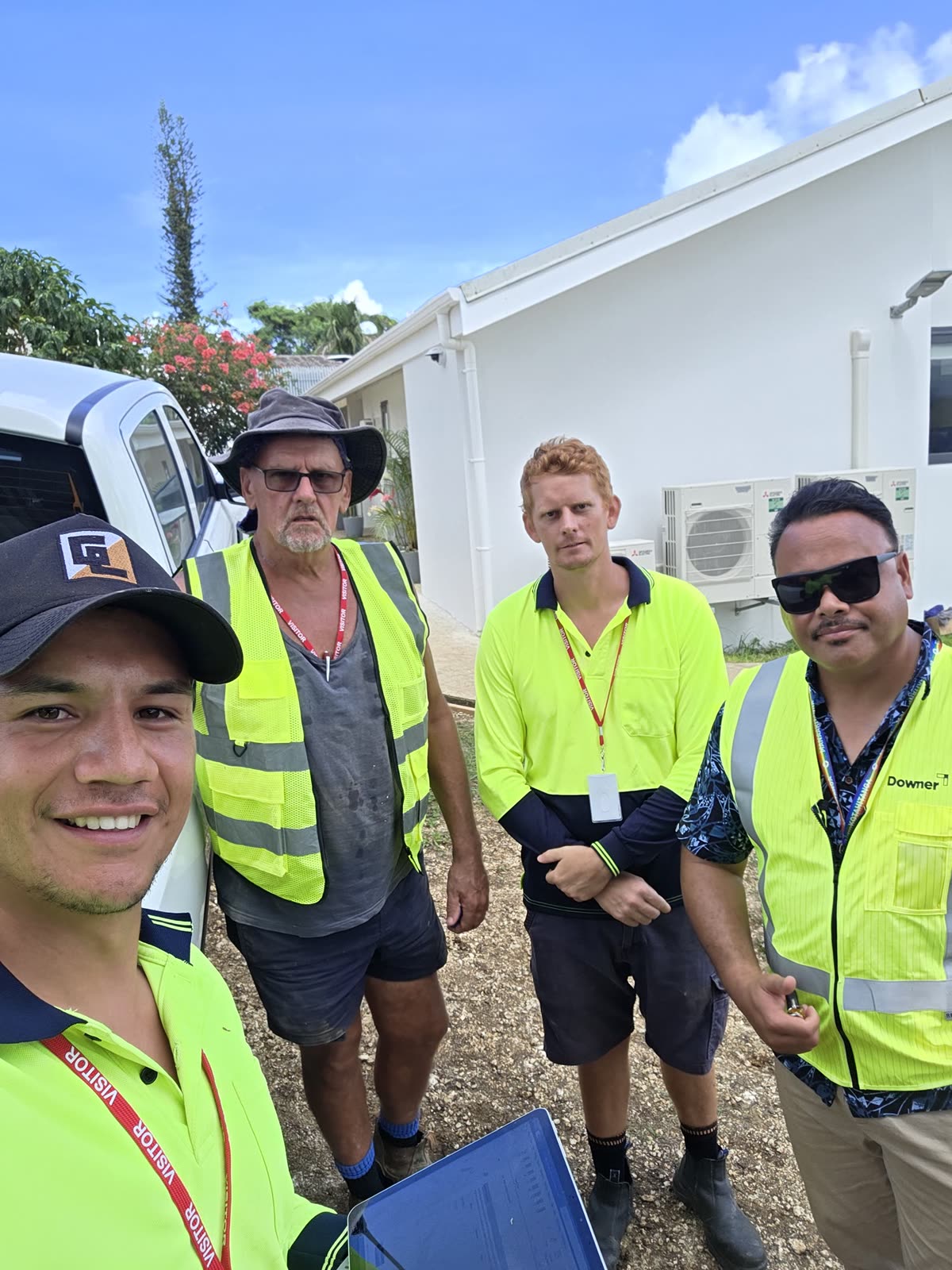
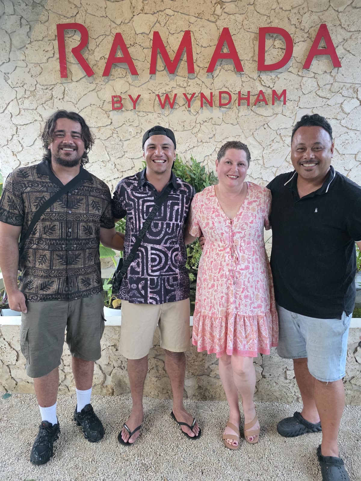
Deployed a two-person Geo Mana crew alongside Downer and MFAT personnel, with two local workers joining the team on site
- 02
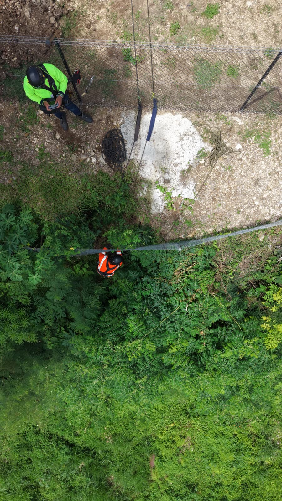
Carried out rope access inspections across all three sites to map slope profiles, measure inclines, and document ground conditions
- 03
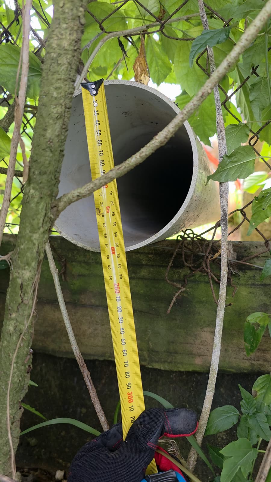
Used drone photography and direct measurement to build a complete picture of each property without the need for 3D scanning equipment
- 04
Worked alongside Gibb Ritchie Geotechnical Engineers to produce formal condition reports for each site
- 05
Managed the programme across three dispersed sites within the tight FIFO window
- 06
Upskilled the local workers in basic rope access and inspection work during the project
Spec snapshot
The numbers on record
- 013 independent ground condition reports delivered
- 023 Port Vila sites assessed: Bellevue, Nambatri/Ellouk Drive, and the NZ High Commission Chancery
- 036-day delivery window met
- 042-person crew plus 2 local workers, working alongside Downer NZ and MFAT personnel
- 05Formal reports produced with Gibb Ritchie Geotechnical Engineers
The outcome
Work that holds up.
All three ground condition reports were delivered on time within the six-day window, produced with Gibb Ritchie Geotechnical Engineers to give each client a clear, engineer-backed picture of their property's slope conditions and what needed attention. Rope access, drone photography, and direct measurement proved a complete assessment method on remote sites without specialist scanning equipment or a local supply chain. The job was our first overseas deployment, delivered within 1.5 years of operating, delivered alongside Downer NZ and MFAT under the Pacific Project. Along the way the crew upskilled two local workers and gifted drone footage to a local fire dancing group — the kind of community connection we take pride in wherever we work.
- Rope access and abseiling
- Drone photography
- Slope profile measurement
- Ground condition assessment
- FIFO project delivery
From the face
How it looked on site
Actual project photography
Your ground
Facing something similar?
Send the location, a few photos and any engineering information you have. We will tell you the practical next step.
Discuss a project